Showing posts with label calgary weather. Show all posts

Wednesday, 27 November 2013

Alberta-Montana: Linear Cloud Front Generated Using Aerosols and Held in Place Using EMF

Calgary, AB, Nov 26-27/13 - With its linear shape, many are calling it a Chinook. However, we must keep in mind the mass of linear aerosols that were being sprayed prior to this formation, along with the diminished EM (electromagnetic) emissions in the Rocky mountainous regions. There are next to no cellphone towers or Doppler facilities at those rocky heights. This mass of linear "clouds" were originally sprayed aerosols that collected moisture and were further pulsed into shape by EMF (electromagnetic frequency). The linear cloud formation was kept in place by EM frequency, hovering over Calgary for over 13 hours, as it later shifted towards Montana's Missoula and Great Falls NEXRAD regions to be also held in place for 13+ hours, with the same linear edge. Many locals are calling this a Chinook, but is there more to it? The full playlist of events can be seen here.


Nov 26/13, 15:07 UTC - EM blast emitted from Great Falls, MT NEXRAD Station. Shortly after this, we see the linear cloud front move into this region (on the satellite video). 

Sunday, 3 November 2013

Lethbridge, Alberta - Less Affected by Artificial Weather?

Lethbridge, AB has been named as one of the sunniest cities in Canada, with mild winters and very little snowfall (precipitation) as compared to other places in Alberta. Take a look at the Doppler radar, and notice that Lethbridge, AB lies in an out-skirt area where electromagnetic activity from the Doppler is nearly diminished. Other areas west of Lethbridge also share this commonality. Lethbridge received some of the least snowfall. Heavy snow came down in areas south east of Calgary, around Standard, AB, where there is a fertilizer manufacturing factory and a Husky Oil Plant, disbursing precipitation-affecting aerosols into the air.


MPR News informs us:

Meteorologists have known for decades that waste plumes…the vented heat and moisture from power plants can produce clouds and showers downwind. Now this phenomenon has been captured by Doppler radar. It is called “Nuke Effect” snow. It appears Pennsylvania’s Beaver Valley Nuclear Power Plant near Shippingport generated enough waste heat and moisture in this bitter air mass to create a “nuke effect” snow plume downwind. Up to an inch of snow was reported under the narrow, localized snow plume.

Here’s the Doppler radar image from Pittsburgh showing the plume drifting downwind.
Also see: 

“Nuke Effect” Snow? Pennsylvania power plant spawns “nuclear” snow plume

Wednesday, 9 October 2013

Sprayed Aerosols Over Western Continent

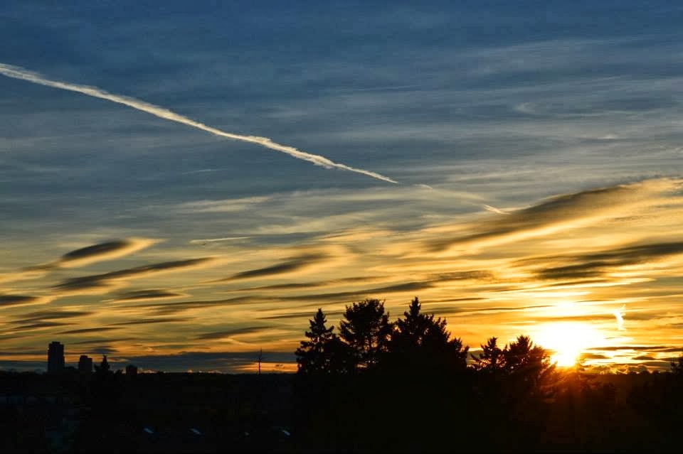
Oct 9/13 - The climate engineers have been at useless work the past few days. Sprayed aerosols were spotted in Calgary, AB. Towards the evening, the linear mat of collected aerosols can clearly be seen towards the West, oriented SW-NE. They can also be seen on satellite images, sucking up moisture, specifically going through NEXRAD-active regions. The NEXRAD sites are shown as dots in the two last images, and moisture can be seen channelling through these areas.


The above photographs were taken in Calgary, AB


Wednesday, 25 September 2013

Climate-engineered front: N.Cali to Alberta

Sept 24/13 - Climate Engineering in a nutshell: Spray metallic aerosols inland and over ocean while a tropospheric river is advancing towards land. These metallic particles rob water vapour from the air to form "clouds", thus diminishing cumulus clouds' ability to form. With the NEXRAD / Doppler network working in unison, an enormous "cloud front" can be created. These metallic-laced clouds can be shaped and directed with electromagnetic wave frequency i.e. using NEXRAD radar stations, like the one shown centred in the 4th frame of the image below:

The first photos were taken in Calgary, AB in the morning, showing how the sky later became a white mass of "cloud" cover. The photos that follow respectively are: satellite images of cloud cover, photos taken from Washington and Oregon, and radar images showing NEXRAD influence on this approaching weather front coming from the San Francisco, Sacramento, and Eureka, CA Doppler stations. Reno, Nevada NEXRAD station also shows electromagnetic influence on the weather front as can be seen with the linear feature going directly through the centre of the radar circumference.