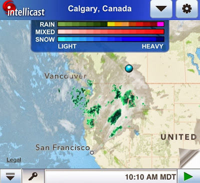
Sept 24/13 - Climate Engineering in a nutshell: Spray metallic aerosols inland and over ocean while a tropospheric river is advancing towards land. These metallic particles rob water vapour from the air to form "clouds", thus diminishing cumulus clouds' ability to form. With the NEXRAD / Doppler network working in unison, an enormous "cloud front" can be created. These metallic-laced clouds can be shaped and directed with electromagnetic wave frequency i.e. using NEXRAD radar stations, like the one shown centred in the 4th frame of the image below:
The first photos were taken in Calgary, AB in the morning, showing how the sky later became a white mass of "cloud" cover. The photos that follow respectively are: satellite images of cloud cover, photos taken from Washington and Oregon, and radar images showing NEXRAD influence on this approaching weather front coming from the San Francisco, Sacramento, and Eureka, CA Doppler stations. Reno, Nevada NEXRAD station also shows electromagnetic influence on the weather front as can be seen with the linear feature going directly through the centre of the radar circumference.


No comments:
Post a Comment