Showing posts with label Calgary Alberta clouds study geoengineering aerosol weather climate technology nwo chemtrail agenda haarp. Show all posts

Wednesday, 6 March 2013

EM-Induced sky this morning

It looks like the sky was supposed to be clear, until these frequencies were emitted. Photo provided by a Calgary resident. See the similarities?

Also on a side note, aerosol trails censored on satellite spraying this morning at 9 am MST near border west to east.


Tuesday, 5 March 2013

Weather system being fed from N.Cali

Weathermanwill, and our friends from N.California couldn't have said it better: it appears as though 'they' are preparing to intensify the approaching weather front coming in from the West, by using aerosol deployed by the spraying aircrafts. The first pictures are from the West coast of Northern California area, where heavy aerosol operations are often reported.


In the second round of pics, you will notice that this weather system from N.Cali will partially be affecting Southern Alberta. I have shown the satellite images.


Lastly, I have also taken shots of today's skies. Note the linear aerosols to the Southern horizon that have picked up moisture as they have reached us in their linear shaped mass. These are not "naturally" occurring clouds. They were also spraying in our southern skies to strengthen this aerosol mass. Other than the southern horizon and the usual sunset-covering aerosols, the sky was mostly clear and pristine.


Some more videos of California being sprayed recently:


Sunday, 3 March 2013

Weather modification to bring "cool" moisture into States

Aerosols were deployed and EM frequency (TTAs or HAARP) was used to intensity and direct this synthetic "storm", bringing cold moisture into the drought-stricken U.S. This intensification has caused a much larger snowfall than expected, as 2 - 4 cm was in the forecast. The Blizzard Rocky in the United States is merely one example of a geoengineered storm that brought unusual snow in many states and severe flooding in Texas.

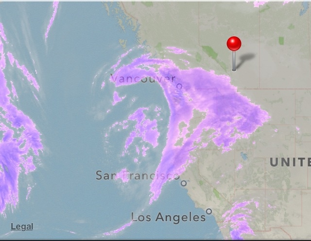
There are clear signs of aerosol being deployed in satellite imagery. One can clearly see the spray "lines" in many places when watching it in real-time. However, what is most obvious is the censoring of such images, specifically on 2:30 pm MST (or 21:30 UTC) on March 2nd and 3rd. They have also been actively spraying days prior to the storm approaching. This was mentioned here (also note the censored aerosols on March 1st), with numerous eyewitnesses across the States.


If you have any chemical analysis of snow samples done in your area by yourself or laboratory, please provide that information to use. We would be very interested in sharing this information with others.

Tuesday, 12 February 2013

Aerosols from the West?

Feb 12

This mass of "clouds" with straight-edged features seem to show signs of aerosol deployment blowing in from the West. What do you think?