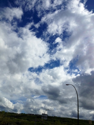
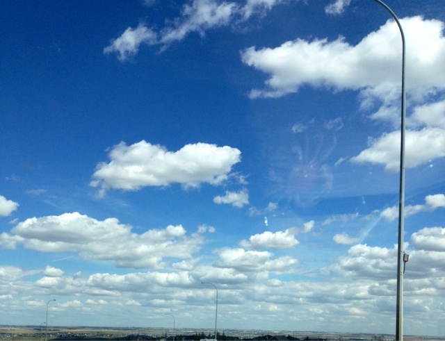
This huge geoengineered front is stretching across North America. This is by far one of the largest we have seen. People are reporting signs of Chemtrail dumps and aerosols. The front is being fed by NEXRAD radar-induced frequency. It is creating some intense weather all around. Notice the linear features on satellite.
Today we see our normal cumulus clouds at low altitude, with a higher altitude of aerosol mass laced with metallics. This top grey mass (which should be blue sky) is being induced by radar frequency, which also affects the cumulus clouds below it.
Friday, 31 May 2013
Thursday, 30 May 2013
Geoengineered Front pushed NW
This is the first time I have witnessed a weather front being pushed north and west. We also noted signs of aerosol deployed, appearing as linear features in the sky. Emboss effect was added for clarity.
Wednesday, 29 May 2013
Monday, 27 May 2013
Natural Cumulus Showers
Absolutely beautiful rain with sunny peaks. Residents in some areas today experienced rain with sunshine.
Saturday, 25 May 2013
The NEXRAD and HAARP connection
Check out the video on YouTube.
The last picture shows how a fluid containing metallics can be shaped in response to EM forces. The same can be applied to our sky with metallic aerosol spraying.
The last picture shows how a fluid containing metallics can be shaped in response to EM forces. The same can be applied to our sky with metallic aerosol spraying.
Friday, 17 May 2013
Wednesday, 15 May 2013
Natural clouds - Beautiful sky
Meanwhile, some photos taken in US, Indiana and from Atlantic Skywatch. A good review for synthetic cloud formation.
Subscribe to:
Comments (Atom)


